

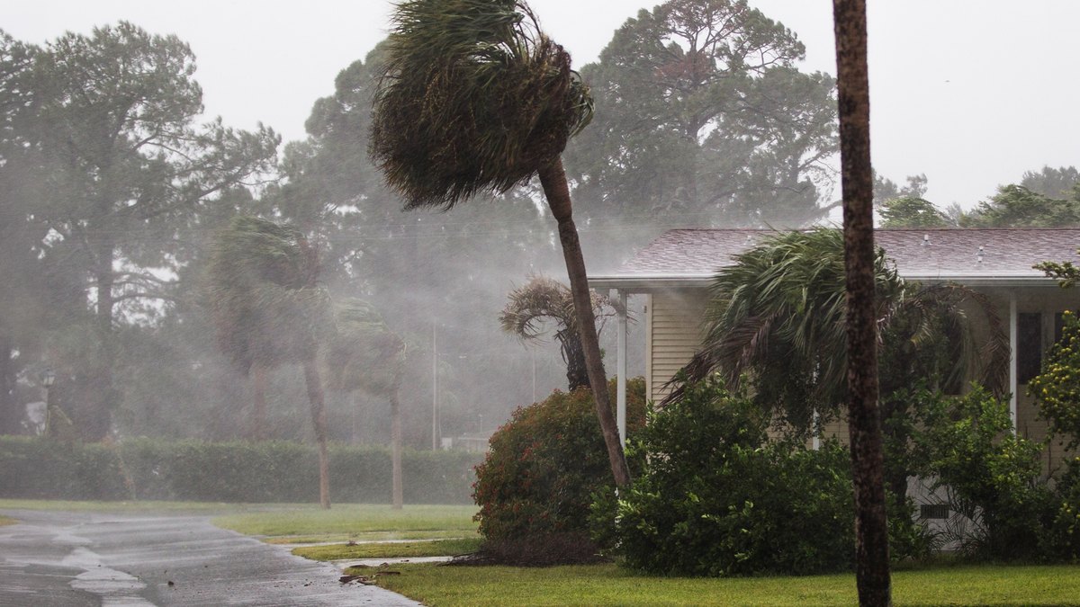
A tropical system forming in the Gulf has homeowners in Florida and the Southeast on alert, with a state of emergency being declared ahead of the storm in one state.
The National Hurricane Center announced the official name, Tropical Storm Isaias, on Tuesday, reporting that the storm is strengthening to name status at an alarming rate.
In fact, in just the last 24 hours, there is now the potential for the storm to reach a Category 1 or 2 hurricane status by Thursday, meaning it would become the official first hurricane of the season.
Tropical Storm Isaias could bring flooding rains and damaging winds by Friday, which means homeowners have just a few days to prepare.
Tracking Tropical Storm Isaias
Forecasters at the National Hurricane Center increasing risk of dangerous wind and storm surge impacts along portions of the northern Gulf Coast, including in Louisiana to the Florida Panhandle.
For this reason, Florida Gov. Ron DeSantis signed an executive order on Tuesday declaring a state of emergency in 25 counties as a precaution due to Tropical Storm Isaias in the Gulf.
According to the Weather Channel, Isaias is expected to become a hurricane on Thursday, then rapidly strengthen to at least a Category 2 by Friday evening in the central Gulf.
The NHC adds that flash and urban flooding, along with isolated riverflooding, will be possible as the storm intensifies.
The lastest models see Isaias potentially making landfall anywhere from Louisiana to the Florida Panhandle by late Friday or early Saturday.
A quiet hurricane season
The storm comes at the tail end of a relatively quiet season. NOAA’s National Weather Service had predicted that the number of expected named storms this year would be between 7 and 13.
Isaias somes in at No. 9 and as mentioned, would be the first hurricane of the season if it remains on cource.
Tropical storm activity in the Atlantic was expected to be tampered by the super El Nino conditions.
An El Nino increases wind shear, which tends to prevent tropical storms from forming or from getting stronger once formed.
“When El Nino emerges, it usually becomes the dominant factor in total hurricane season activity, and this El Nino continues to get stronger every month,” said Matt Rosencrans, lead hurricane season forecaster with NOAA’s National Weather Service.
Preparing for the rain
With all that said, homeowners would do well to prepare for the coming storm this weekend.
Tropical Storm Arthur was the very first storm of the season and, while a brief system, it still caused heavy rain and flash‑flood emergencies across the Southeast through mid-June.
Plenty of homes were damaged by the winds and rain, and several areas saw record-breaking rainfall.
For example, New Orleans set a new 70‑year daily rainfall record on June 18, receiving 7.75 inches, surpassing the previous 1.74‑inch record from 1957, according to TWC.
With that in mind, homeowners in Florida, Louisiana, and the Southeast are advised to prepare for the rains this weekend all the same.
The common advice agreed upon by experts includes testing your sump pump, monitoring your septic system, and knowing where your water, electric, and gas valves are located, in case of emergencies.
One common overlooked precaution, however, is checking your gutters. Most homeowners clean out the gutters in spring and summer, but if you live in an area prone to torrential rain, it’s worth upping the cleaning schedule.
Before a storm, inspect your gutters and outdoor drains for clogs, and clean them out if necessary.
“Drains are meant to direct water away from the home, so it is important to keep these areas clear of debris,” says Chris Counahan, president of LeafFilter.
He says if this step is skipped, water can damage the home’s foundation or lead to flooding inside and outside the home.
“It’s possible to do the upkeep yourself, but if too much debris gets down in the drain, it’s best to call in a professional to clean it out,” says Counahan.